“You really get an idea of just the sheer number of species that are in some way dependent on our kelp beds,” Clark says. “This is a vital spot for all kinds of animals in our region.”
So far, however, kelp has received less attention by conservationists than other species and habitats such as eelgrass, which is listed as a ‘Vital Sign’ of Puget Sound health by the state’s Puget Sound Partnership. One reason may be that kelp is harder to study. Bull kelp is an annual plant, growing anew from a microscopic beginning each spring, and being washed away by storms in the autumn. Plus, kelp was thought to be more resilient than other types of nearshore vegetation.
Emerging concerns
Over the last decade, that view has changed. In 2010, three species of rockfish found in Puget Sound were listed as threatened or endangered; all three are found in kelp beds and one of them, bocaccio, is especially dependent on kelp as rearing habitat. The listing highlighted gaps in kelp knowledge. “In general, there’s not very good data – precise spatial data – about the location and species assemblages of kelp in Puget Sound,” says Dan Tonnes, a NOAA Fisheries biologist working on rockfish.
And concern was bubbling up from other places as well. Anglers wondered where bull kelp beds had gone. Samish tribal members told their Department of Natural Resources staff that they were having trouble finding kelp to wrap salmon in as part of a traditional way of preparing the fish. Scientists noticed kelp beds they’d long known as reliable landmarks shrinking or disappearing altogether. And so it went around the Sound.
The first task was to get a handle on where exactly kelp beds were located, how big they were, and how they have changed over time. For this, Samish Department of Natural resources scientists turned to aerial photography. They used a computer GIS program to outline the location of kelp beds on high-resolution aerial photographs of the San Juan Islands taken in 2016.
The unique shape and distinctive green shade of kelp plants is easy to recognize in the photographs, says Casey Palmer-McGee, a GIS specialist with the tribe. But digitizing the photographs still took two months of painstaking work – “click, click, click, click, click,” he says, mimicking the repetitive computer mouse motions involved in tracing each bed.
The team compared their data with those from a 2006 study of the same area that also used aerial photography. This showed a loss of 305 acres, or roughly 36% of all bull kelp in the San Juan Islands, over the course of a decade.
At first, it wasn’t clear that there was a big problem: Kelp beds can vary by up to 30% from one year to another. But as the researchers looked closer, a more alarming picture emerged. On average, each island had lost half its kelp area. And some had experienced even more devastating losses: Kelp had declined by 62% around Shaw Island, 72% around Blakely Island, and 77% around Patos Island.
The map of tribal elder knowledge that McLeod worked on adds another dimension to the findings. “We think that loss has been going on for quite a bit longer” than a decade, says Samish DNR head Todd Woodard.
Shrinking boundaries
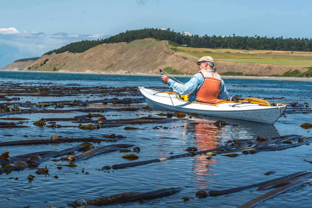
Aerial photographs aren’t available for all of Puget Sound’s shorelines, so the Northwest Straits Commission developed a protocol for measuring the size of kelp beds by kayaking around the perimeter with a GPS device. Individual county Marine Resources Committees then recruited citizen-scientist volunteers to survey a handful of kelp beds in each jurisdiction.
“It's a nice way to go out and paddle around, get to know your local waters close up, and you have a purpose,” says Linda Rhodes, a microbiologist with NOAA who lives on Whidbey Island and coordinates the kayak survey program in Island County.