Other projects tackled the scope and threat of sea level rise in the Puget Sound Basin as a whole. One of those was led by Ian Miller, a Coastal Hazards Specialist with Washington Sea Grant. That project mapped vulnerability to sea level rise across the entire Puget Sound coastline, land parcel by land parcel.
“We had a couple of approaches,” Miller says. One approach, used during previous assessments, was to look at various community-driven, discussion-oriented processes. “The other that we wanted to experiment with, he says, “was more data-driven. That approach involved recent HSIL funding and took advantage of GIS systems and publicly-available data on coastal elevation and location and presence of buildings and roads, whatever we can pull in on potentially impacted in areas that are flooded under different sea-level-rise scenarios.” That the data be public was key; Miller wanted people to be able to access anything he was able to access.
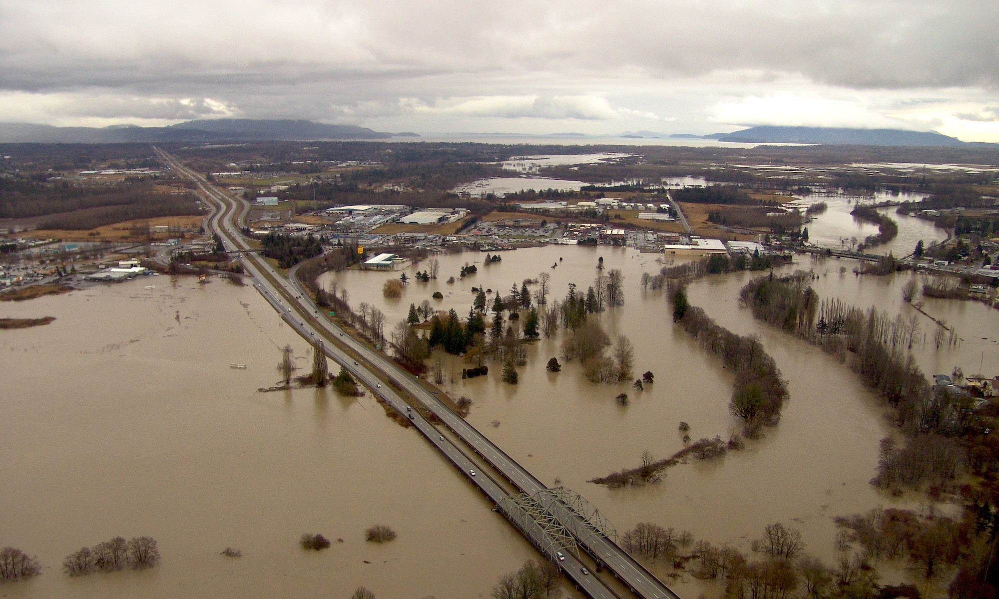
The project led to some nice innovation in the way Miller thought about flooding risk. For example, sea-level-rise vulnerability is commonly assessed only for flooding, which is easy to map. (“We call these the Big Blue Blobs,” Miller says, for the inundated areas of a map.) But there are other impacts of sea level rise besides flooding that can negatively affect people. One other thing it can do is exacerbate erosion. Homes that sit on bluffs, or other infrastructure, or habitats—all of these, sitting as they do one hundred feet above Puget Sound, are well outside of the range of possible flooding. “There’s no way they would come out as vulnerable in traditional analysis,” Miller says. So he wanted to expand the number of potential impacts he considered, incorporating erosion, for instance.
“What we’re doing is acknowledging these concerns that people have about impacts to their communities,” Miller says. “We can incorporate not only the traditional approach of assessing impacts to infrastructure, but also these less obvious impacts.”
In the end, what Miller had was a map of the entire Puget Sound shoreline with different scores for different parcels. One surprising find was that, of the roughly 110,000 parcels Miller and his team evaluated, only about 2,000 were scored as being highly vulnerable to flooding. “We were kind of like, Oh wow, this is kind of hopeful, in the sense that, if it’s true, you can make a targeted sort of investment on a relatively small scale and achieve some significant gains,” Miller says.
Miller’s hope is that the work will direct attention to those parcels that are most vulnerable, and find means to pick away at what drives their vulnerability, or vulnerabilities. After all, the components of a parcel’s vulnerability can vary. Some are physical—flooding or erosion, for example—while others are geographic, and still others social. The ultimate goal, then, is to provide as nuanced a perspective as possible on all those vulnerabilities in Puget Sound. “We want to generate a new starting point for people, municipalities, communities, tribes, neighborhoods,” Miller says. “Basically, anyone who is interested in thinking about what a flood’s traditional impacts may be, and then beyond, to options for reducing those impacts.”
This article has been funded wholly or in part by the United States Environmental Protection Agency under assistance agreement PC-01J22301 through the Washington Department of Fish and Wildlife. The contents of this document do not necessarily reflect the views and policies of the Environmental Protection Agency or the Washington Department of Fish and Wildlife, nor does mention of trade names or commercial products constitute endorsement or recommendation for use.