

All Articles

San Juan County Best Available Science Synthesis
A summary of data on ecosystems designated as Critical Areas (formerly Environmentally Sensitive Areas) in San Juan County, including recommendations for management.

Eyes Over Puget Sound: Surface Conditions Report - February 4, 2014
Air temperatures have fallen due to unusually weak northern winds bringing in cold air. A dry beginning to winter causes low river flows. This dry winter brings new Puget Sound conditions with colder saltier waters observed in the northern regions. Oxygen has stabilized again within expected ranges. Suspended sediments along wind and wave exposed beaches add artful brushstrokes to the Puget Sound
Envision Skagit
Envision Skagit is a partnership between Skagit County and various local and regional organizations. The county is using a land use model as a tool to engage the community about natural resource planning and decisions.

Lead Entities for salmon recovery in Puget Sound
Lead Entities are local organizations in Puget Sound that develop salmon recovery strategies and priorities for the region on a watershed-based scale.

Floodplains by Design
Floodplains by Design identifies floodplains in Puget Sound with multiple benefit potential and use information on flood risk to inform ecosystem restoration.
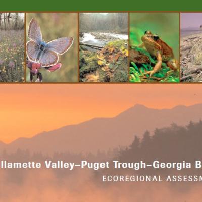
The Willamette Valley-Puget Trough-Georgia Basin Ecoregional Assessment
The Willamette Valley-Puget Trough-Georgia Basin Ecoregional Assessment considers 833 conservation targets identified by expert teams, proposing that if those targets are represented in an ecoregion, a majority of species, including those which lack data, will be included.

Puget Sound Nearshore Ecosystem Restoration Project
The Puget Sound Nearshore Ecosystem Restoration Project (PSNERP) works to assess the health of Puget Sound nearshore environments and provides strategies for their protection and restoration.

Priority Marine Sites for Conservation in the Puget Sound
This 2006 report from the Washington Department of Natural Resources identifies areas of Washington's inland marine waters with high conservation value.

Puget Sound Watershed Characterization Project
This project is a coarse-scale, systematic characterization of different areas within the Puget Sound watershed, aimed at providing a framework for land use discussions.

West Coast Governors' Alliance Integrated Ecosystem Assessment
The West Coast Governor's Alliance on Ocean Health, a regional collaboration to protect and manage U.S. West Coast ocean and coastal resources, was launched in September of 2006. This collaboration began an integrated ecosystem assessment (IEA) covering the entire coast, comprised of six regional IEAs (R-IEAs) in Washington, Oregon, and California. The R-IEAs evaluate a range of management