Geography

We use geography to locate, organize, and describe places on the earth. This site focuses on the Puget Sound and broader Salish Sea regions of Washington state and British Columbia, which may be spatially mapped and subdivided using a variety of physical, political, or human factors.  The information on this site is generally limited to the Salish Sea waters and the surrounding land basin draining into those waters.

Overview

The boundaries of Puget Sound and the Salish Sea are not always consistently defined by scientists and government agencies. This article clarifies the distinctions between oceanographic and watershed-based definitions of these geographic areas. 

Water Resource Inventory Areas (WRIA). Map: Kris Symer. Data source: WAECY.

Related Articles

The Puget Sound ecosystem is shaped by its physical environment. This article looks at Puget Sound's geologic history as well as dynamic factors such as the flow of its rivers and currents.

The boundaries of Puget Sound and the Salish Sea are not always consistently defined by scientists and government agencies. This article clarifies the distinctions between oceanographic and watershed-based definitions of these geographic areas. 

The Puget Sound Fact Book brings together statistics and other information about the health and makeup of the Puget Sound ecosystem. Areas of focus include climate change, geography, water quality, habitats, human dimensions and regional species. The fact book was prepared for the Encyclopedia of Puget Sound with funding from the Environmental Protection Agency and the Puget Sound Partnership.

Puget Sound is the second largest estuary in the contiguous United States. Today, we understand that estuaries — where freshwater and saltwater merge — are among the most productive places for life to exist.

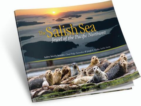
The Salish Sea: Jewel of the Pacific Northwest brings together more than 230 extraordinary images of the Salish Sea. But don't call it a coffee table book. Its lush photos are backed by a serious scientific perspective on this complex and fragile ecosystem.

The Puget Sound Model was designed and built by the University of Washington School of Oceanography in the early 1950s to simulate the tides and currents of Puget Sound. A series of videos produced by the Encyclopedia of Puget Sound describes its construction and operation.